You are currently viewing all products. To view only operational products Click Here.

Search Data Catalog

Showing 91 - 105 of 674 results
Cropland Extent over part of Thailand.
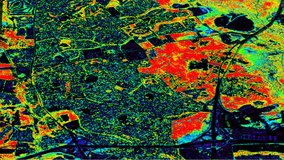
Global Food Security-support Analysis Data (GFSAD) Cropland Extent 2015 Southeast and Northeast Asia 30 m
Satellite Icon
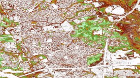
Global Food Security-support Analysis Data (GFSAD) Cropland Extent 2015 Validation 30 m
Rice is one of the major agricultural crops for Central Asia. Photo Credit: Pixabay
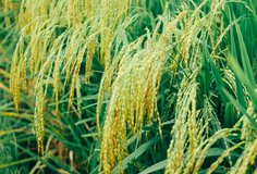
Global Hyperspectral Imaging Spectral-library of Agricultural crops for Central Asia
Wheat is one of the major agricultural crops for the conterminous United States. Photo Credit: Pixabay
Global Hyperspectral Imaging Spectral-library of Agricultural crops for Conterminous United States
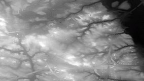
G-LiHT Digital Surface Model image, acquired over Flagstaff, AZ on March 21, 2013.
G-LiHT Digital Surface Model
G-LiHT Digital Terrain Model GeoTIFF HKML Image, acquired over Bowie, Maryland in June 2012.
G-LiHT Digital Terrain Model KML
"Cockpit in the small aircraft" by Trendhim is licensed under CC BY-NC-SA 2.0, accessed from Creative Commons, Feb 4, 2022.
G-LiHT Hyperspectral Ancillary
GLHYVI Hyperspectral Vegetative Indices image, showing NDVI over Bowie, Maryland in June, 2012.
G-LiHT Hyperspectral Vegetative Indices
G-LiHT LiDAR Point Cloud image, acquired over the University of Tennessee, Knoxville, TN, March 25, 2015.
G-LiHT LiDAR Point Cloud
GLORTHO_30Jun2018_KlamathOR_HERO
G-LiHT Aerial Orthomosaic
GLRADS Hyperspectral Radiance Swath image, taken over Bowie, Maryland in June, 2012.
G-LiHT Hyperspectral Radiance
Display
15
results per page