Showing 391 - 405 of 675 results
MODIS/Aqua Surface Reflectance 8-Day L3 Global 500 m SIN Grid
MODIS/Aqua Surface Reflectance 8-Day L3 Global 500 m SIN Grid
MODIS/Aqua Surface Reflectance Daily L3 Global 0.05 Deg CMG
MODIS/Aqua Surface Reflectance Daily L3 Global 0.05 Deg CMG
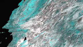
MODIS/Aqua Surface Reflectance Daily L2G Global 1 km and 500 m SIN Grid
MODIS/Aqua Surface Reflectance Daily L2G Global 1 km and 500 m SIN Grid
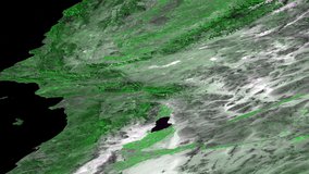
MODIS/Aqua Surface Reflectance Daily L2G Global 250 m SIN Grid
MODIS/Aqua Surface Reflectance Daily L2G Global 250 m SIN Grid
MODIS/Aqua Surface Reflectance 8-Day L3 Global 250 m SIN Grid
MODIS/Aqua Surface Reflectance 8-Day L3 Global 250 m SIN Grid
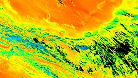
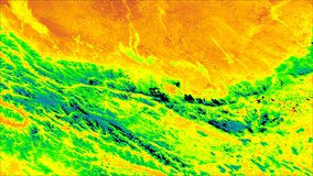
MODIS/Aqua Land Surface Temperature/Emissivity Daily L3 Global 1 km SIN Grid
MODIS/Aqua Land Surface Temperature/Emissivity Daily L3 Global 1 km SIN Grid
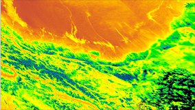
MODIS/Aqua Land Surface Temperature/Emissivity 8-Day L3 Global 1 km SIN Grid
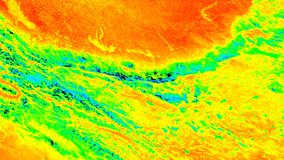
MODIS/Aqua Land Surface Temperature/Emissivity 8-Day L3 Global 1 km SIN Grid
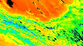
MODIS/Aqua Land Surface Temperature/Emissivity Daily L3 Global 6 km SIN Grid