Showing 601 - 615 of 675 results

VIIRS/NPP BRDF/Albedo Parameter 3 DNB Daily L3 Global 30 ArcSec CMG
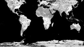
VIIRS/NPP BRDF/Albedo Quality Daily L3 Global 30 ArcSec CMG

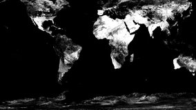
VIIRS/NPP BRDF/Albedo Local Solar Noon Daily L3 Global 30 ArcSec CMG
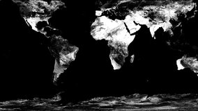
VIIRS/NPP BRDF/Albedo Valid Observation Band M1 Daily L3 Global 30 ArcSec CMG
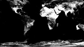
VIIRS/NPP BRDF/Albedo Valid Observation Band M2 Daily L3 Global 30 ArcSec CMG
VIIRS/NPP BRDF/Albedo Valid Observation Band M3 Daily L3 Global 30 ArcSec CMG
VIIRS/NPP BRDF/Albedo Valid Observation Band M4 Daily L3 Global 30 ArcSec CMG
VIIRS/NPP BRDF/Albedo Valid Observation Band M5 Daily L3 Global 30 ArcSec CMG

VIIRS/NPP BRDF/Albedo Valid Observation Band M7 Daily L3 Global 30 ArcSec CMG
VIIRS/NPP BRDF/Albedo Valid Observation Band M8 Daily L3 Global 30 ArcSec CMG

VIIRS/NPP BRDF/Albedo Valid Observation Band M10 Daily L3 Global 30 ArcSec CMG
VIIRS/NPP BRDF/Albedo Valid Observation Band M11 Daily L3 Global 30 ArcSec CMG
VIIRS/NPP BRDF/Albedo Valid Observation DNB Daily L3 Global 30 ArcSec CMG
VIIRS/NPP BRDF/Albedo Snow Status Daily L3 Global 30 ArcSec CMG

VIIRS/NPP BRDF/Albedo Uncertainty Daily L3 Global 30 ArcSec CMG