Showing 61 - 75 of 675 results

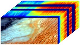
ECOSTRESS Tiled Land Surface Temperature and Emissivity Instantaneous L2 Global 70 m
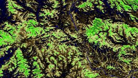
ECOSTRESS Tiled Ancillary NDVI and Albedo L2 Global 70 m
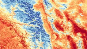
ECOSTRESS Swath Land Surface Temperature and Emissivity Instantaneous L2 Global 70 m
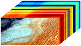
EMIT L1B At-Sensor Calibrated Radiance and Geolocation Data 60 m
EMIT L2A Estimated Surface Reflectance and Uncertainty and Masks 60 m
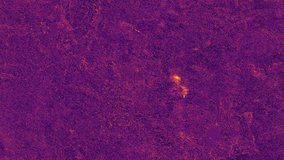
EMIT L2B Methane Enhancement Data 60 m
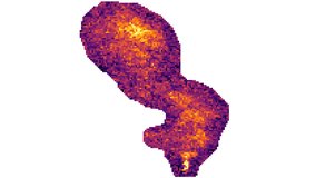
EMIT L2B Estimated Methane Plume Complexes 60 m
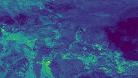
EMIT L2B Estimated Mineral Identification and Band Depth and Uncertainty 60 m
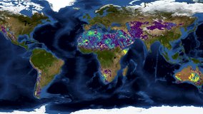
EMIT L3 Aggregated Mineral Spectral Abundance and Uncertainty 0.5 Deg
GEDI L1B Geolocated Waveform Data Global Footprint Level
GEDI L1B Geolocated Waveform Data Global Footprint Level
GEDI L2A Elevation and Height Metrics Data Global Footprint Level
GEDI L2A Elevation and Height Metrics Data Global Footprint Level
GEDI L2B Canopy Cover and Vertical Profile Metrics Data Global Footprint Level