Showing 121 - 135 of 674 results
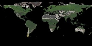
LPJ-PROSAIL L2 Global Simulated Dynamic Surface Reflectance
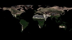
LPJ-PROSAIL L2 Global Simulated Dynamic Surface Reflectance
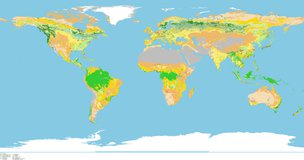
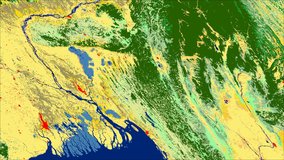
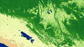
MODIS/Terra+Aqua Land Cover Type CMG Yearly L3 Global 0.05 Deg
MODIS/Terra+Aqua Land Cover Type Yearly L3 Global 0.05 Deg CMG
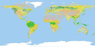
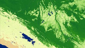
MODIS/Terra+Aqua Land Cover Type Yearly L3 Global 500 m SIN Grid
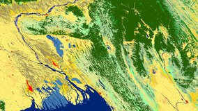
MODIS/Terra+Aqua Land Cover Type Yearly L3 Global 500 m SIN Grid

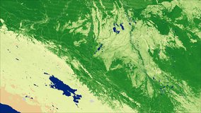
MODIS/Terra+Aqua Land Cover Dynamics Yearly L3 Global 500 m SIN Grid
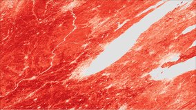
MODIS/Terra+Aqua Land Cover Dynamics Yearly L3 Global 500 m SIN Grid
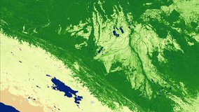
MODIS/Terra+Aqua Leaf Area Index/FPAR 8-Day L4 Global 500 m SIN Grid
MODIS/Terra+Aqua Leaf Area Index/FPAR 8-Day L4 Global 500 m SIN Grid
MODIS/Terra+Aqua Leaf Area Index/FPAR 4-Day L4 Global 500 m SIN Grid
MODIS/Terra+Aqua Leaf Area Index/FPAR 4-Day L4 Global 500 m SIN Grid
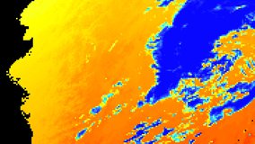
MODIS/Terra+Aqua Surface Radiation Daily 3-Hour L3 Global 5 km SIN Grid
MODIS/Terra+Aqua Surface Radiation Daily/3-Hour L3 Global 1 km SIN Grid
MODIS/Terra+Aqua Surface Radiation Daily/3-Hour L3 Global 1 km SIN Grid