Showing 91 - 120 of 674 results
Global Food Security-support Analysis Data (GFSAD) Cropland Extent 2015 Southeast and Northeast Asia 30 m
Global Food Security-support Analysis Data (GFSAD) Cropland Extent 2015 Validation 30 m
Global Hyperspectral Imaging Spectral-library of Agricultural crops for Central Asia
Global Hyperspectral Imaging Spectral-library of Agricultural crops for Conterminous United States

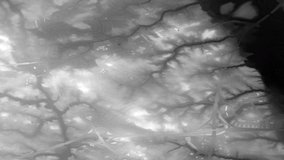


G-LiHT Metrics
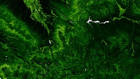
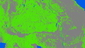
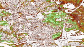
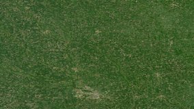
Global Land Cover Mapping and Estimation Yearly 30 m
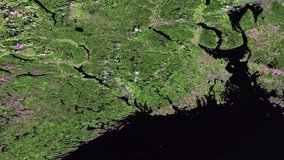
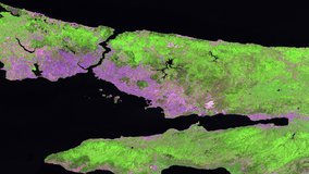
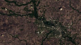
NASA Global Web-Enabled Landsat Data Monthly Global 30 m
NASA Global Web-Enabled Landsat Data Monthly Global 30 m
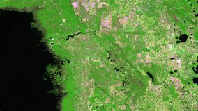
NASA Global Web-Enabled Landsat Data Annual Global 30 m
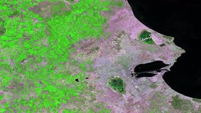
NASA Global Web-Enabled Landsat Data Annual Global 30 m
HLS Landsat-8 OLI Surface Reflectance and TOA Brightness Daily Global 30 m
HLS Operational Land Imager Surface Reflectance and TOA Brightness Daily Global 30m
HLS Sentinel-2 Multi-spectral Instrument Surface Reflectance Daily Global 30m
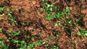
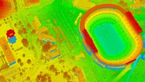
Headwall Hyperspectral Reflectance LTER Cedar Creek Minnesota Multi-Year 1 mm
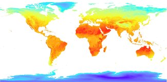
Low Earth Orbit Land Surface Temperature Monthly Global Gridded
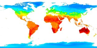
Low Earth Orbit Land Surface Temperature Monthly Global Gridded
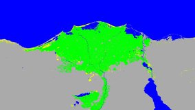
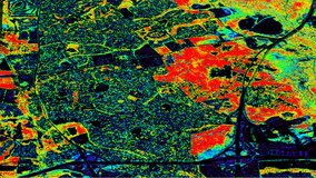
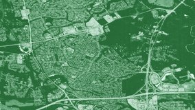
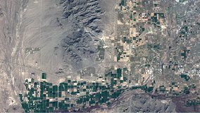
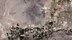
Landsat-Derived Global Rainfed and Irrigated-Cropland Product 30 m