Showing 91 - 180 of 675 results
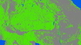
Global Food Security-support Analysis Data (GFSAD) Cropland Extent 2015 Southeast and Northeast Asia 30 m
Global Food Security-support Analysis Data (GFSAD) Cropland Extent 2015 Validation 30 m
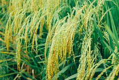
Global Hyperspectral Imaging Spectral-library of Agricultural crops for Central Asia
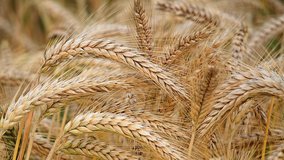
Global Hyperspectral Imaging Spectral-library of Agricultural crops for Conterminous United States

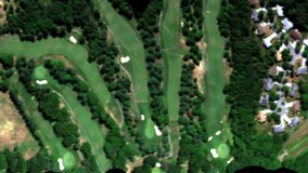
G-LiHT Metrics
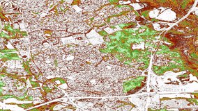
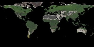
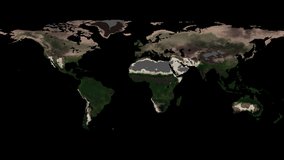
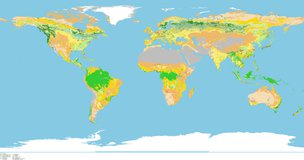
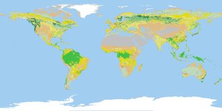
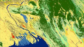
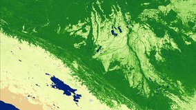
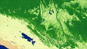
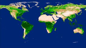
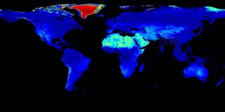
Global Land Cover Mapping and Estimation Yearly 30 m
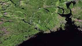
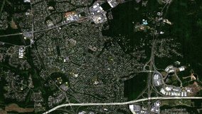
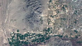
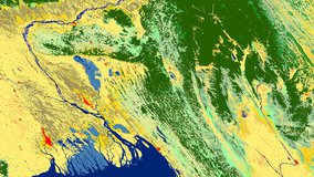
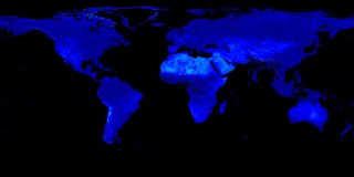
NASA Global Web-Enabled Landsat Data Monthly Global 30 m
NASA Global Web-Enabled Landsat Data Monthly Global 30 m
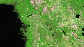
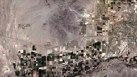
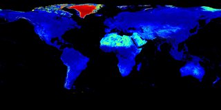
NASA Global Web-Enabled Landsat Data Annual Global 30 m
NASA Global Web-Enabled Landsat Data Annual Global 30 m
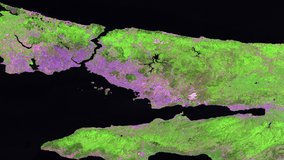
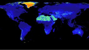
HLS Landsat-8 OLI Surface Reflectance and TOA Brightness Daily Global 30 m
HLS Operational Land Imager Surface Reflectance and TOA Brightness Daily Global 30m
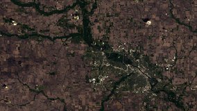
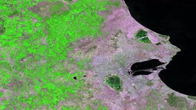
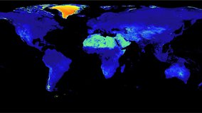
HLS Sentinel-2 Multi-spectral Instrument Surface Reflectance Daily Global 30m
Headwall Hyperspectral Reflectance LTER Cedar Creek Minnesota Multi-Year 1 mm
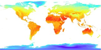
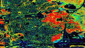
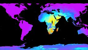
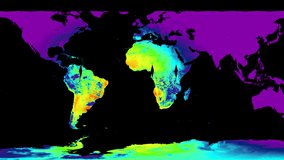
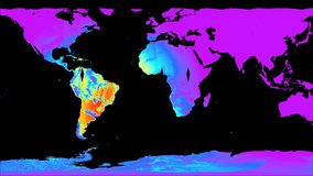
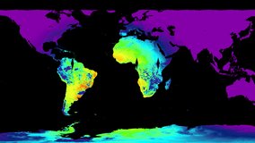
Low Earth Orbit Land Surface Temperature Monthly Global Gridded
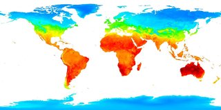
Low Earth Orbit Land Surface Temperature Monthly Global Gridded

Landsat-Derived Global Rainfed and Irrigated-Cropland Product 30 m
LPJ-PROSAIL L2 Global Simulated Dynamic Surface Reflectance
LPJ-PROSAIL L2 Global Simulated Dynamic Surface Reflectance
MODIS/Terra+Aqua Land Cover Type CMG Yearly L3 Global 0.05 Deg
MODIS/Terra+Aqua Land Cover Type Yearly L3 Global 0.05 Deg CMG
MODIS/Terra+Aqua Land Cover Type Yearly L3 Global 500 m SIN Grid
MODIS/Terra+Aqua Land Cover Type Yearly L3 Global 500 m SIN Grid

MODIS/Terra+Aqua Land Cover Dynamics Yearly L3 Global 500 m SIN Grid
MODIS/Terra+Aqua Land Cover Dynamics Yearly L3 Global 500 m SIN Grid
MODIS/Terra+Aqua Leaf Area Index/FPAR 8-Day L4 Global 500 m SIN Grid
MODIS/Terra+Aqua Leaf Area Index/FPAR 8-Day L4 Global 500 m SIN Grid
MODIS/Terra+Aqua Leaf Area Index/FPAR 4-Day L4 Global 500 m SIN Grid
MODIS/Terra+Aqua Leaf Area Index/FPAR 4-Day L4 Global 500 m SIN Grid
MODIS/Terra+Aqua Surface Radiation Daily 3-Hour L3 Global 5 km SIN Grid
MODIS/Terra+Aqua Surface Radiation Daily/3-Hour L3 Global 1 km SIN Grid
MODIS/Terra+Aqua Surface Radiation Daily/3-Hour L3 Global 1 km SIN Grid
MODIS/Terra+Aqua Photosynthetically Active Radiation Daily/3-Hour L3 Global 1 km SIN Grid
MODIS/Terra+Aqua Photosynthetically Active Radiation Daily/3-Hour L3 Global 1 km SIN Grid
MODIS/Terra+Aqua Photosynthetically Active Radiation Daily 3-Hour L3 Global 5 km SIN Grid
MODIS/Terra+Aqua Downward Shortwave Radiation Daily/3-Hour L3 Global 0.05 Deg CMG
MODIS/Terra+Aqua Downward Shortwave Radiation Daily/3-Hour L3 Global 0.05 Deg CMG
MODIS/Terra+Aqua Photosynthetically Active Radiation Daily 3-Hour L3 Global 0.05 Deg CMG
MODIS/Terra+Aqua Photosynthetically Active Radiation Daily 3-Hour L3 Global 0.05 Deg CMG
MODIS/Terra+Aqua MAIAC Land Surface BRF Daily L2G Global 500 m and 1 km SIN Grid
MODIS/Terra+Aqua Land Surface BRF Daily L2G Global 500 m and 1 km SIN Grid
MODIS/Terra+Aqua Surface Reflectance (Bands 1-7) from MAIAC, Daily L3 Global 0.05 Deg CMG
MODIS/Terra+Aqua Surface Reflectance (Bands 8-12) from MAIAC, Daily L3 Global 0.05 Deg CMG
MODIS/Terra+Aqua MAIAC Land Aerosol Optical Depth Daily L2G 1 km SIN Grid
MODIS/Terra+Aqua Land Aerosol Optical Depth Daily L2G Global 1 km SIN Grid
MODIS/Terra+Aqua AOD and Water Vapor from MAIAC, Daily L3 Global 0.05 Deg CMG
MODIS/Terra+Aqua MAIAC BRDF Model Parameters 8-Day L3 Global 1 km SIN Grid
MODIS/Terra+Aqua Vegetation Index from MAIAC, Daily L3 Global 0.05 Deg CMG
MODIS/Terra+Aqua BRDF Model Parameters Daily L3 Global 1 km SIN Grid

MODIS/Terra+Aqua BRDF/Albedo Model Parameters Daily L3 Global 500 m SIN Grid
MODIS/Terra+Aqua BRDF/Albedo Model Parameters Daily L3 Global 500 m SIN Grid
MODIS/Terra+Aqua BRDF/Albedo Quality Daily L3 Global 500 m SIN Grid
MODIS/Terra+Aqua BRDF/Albedo Quality Daily L3 Global 500 m SIN Grid
MODIS/Terra+Aqua Albedo Daily L3 Global 500 m SIN Grid
MODIS/Terra+Aqua Albedo Daily L3 Global 500 m SIN Grid
MODIS/Terra+Aqua Nadir BRDF-Adjusted Reflectance (NBAR) Daily L3 Global 500 m SIN Grid
MODIS/Terra+Aqua Nadir BRDF-Adjusted Reflectance (NBAR) Daily L3 Global 500 m SIN Grid
MODIS/Terra+Aqua BRDF/Albedo Model Parameters Daily L3 Global 0.05 Deg CMG
MODIS/Terra+Aqua BRDF/Albedo Model Parameters Daily L3 Global 0.05 Deg CMG
MODIS/Terra+Aqua BRDF/Albedo Snow-free Model Parameters Daily L3 Global 0.05 Deg CMG
MODIS/Terra+Aqua BRDF/Albedo Snow-free Model Parameters Daily L3 Global 0.05 Deg CMG
MODIS/Terra+Aqua BRDF/Albedo Albedo Daily L3 Global 0.05 Deg CMG
MODIS/Terra+Aqua BRDF/Albedo Albedo Daily L3 Global 0.05 Deg CMG
MODIS/Terra+Aqua BRDF/Albedo Nadir BRDF-Adjusted Reflectance Daily L3 Global 0.05 Deg CMG
MODIS/Terra+Aqua BRDF/Albedo Nadir BRDF-Adjusted Reflectance Daily L3 Global 0.05 Deg CMG
MODIS/Terra+Aqua BRDF/Albedo Parameter 1 Band 1 Daily L3 Global 30 ArcSec CMG

MODIS/Terra+Aqua BRDF/Albedo Parameter 1 Band 1 Daily L3 Global 30 ArcSec CMG
MODIS/Terra+Aqua BRDF/Albedo Parameter 2 Band 1 Daily L3 Global 30 ArcSec CMG

MODIS/Terra+Aqua BRDF/Albedo Parameter 2 Band 1 Daily L3 Global 30 ArcSec CMG
MODIS/Terra+Aqua BRDF/Albedo Parameter 3 Band 1 Daily L3 Global 30 ArcSec CMG

MODIS/Terra+Aqua BRDF/Albedo Parameter 3 Band 1 Daily L3 Global 30 ArcSec CMG
MODIS/Terra+Aqua BRDF/Albedo Parameter 1 Band 2 Daily L3 Global 30 ArcSec CMG
MODIS/Terra+Aqua BRDF/Albedo Parameter 1 Band 2 Daily L3 Global 30 ArcSec CMG

MODIS/Terra+Aqua BRDF/Albedo Parameter 2 Band 2 Daily L3 Global 30 ArcSec CMG

MODIS/Terra+Aqua BRDF/Albedo Parameter 2 Band 2 Daily L3 Global 30 ArcSec CMG

MODIS/Terra+Aqua BRDF/Albedo Parameter 3 Band 2 Daily L3 Global 30 ArcSec CMG

MODIS/Terra+Aqua BRDF/Albedo Parameter 3 Band 2 Daily L3 Global 30 ArcSec CMG