Showing 466 - 480 of 675 results
MODIS/Aqua Ocean Reflectance Daily L2G-Lite Global 1 km SIN Grid

MODIS/Aqua Thermal Bands Daily L2G-Lite Global 1 km SIN Grid


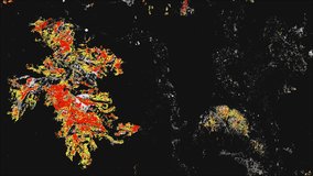
OPERA Land Surface Disturbance Alert from Harmonized Landsat Sentinel-2 provisional product (Version 0)
OPERA Land Surface Disturbance Alert from Harmonized Landsat Sentinel-2 product (Version 1)
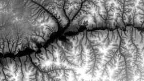
OPERA Land Surface Disturbance Annual from Harmonized Landsat Sentinel-2 product (Version 1)
NASA Shuttle Radar Topography Mission Global 1 arc second number

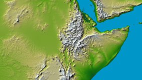
NASA Shuttle Radar Topography Mission Global 3 arc second number