Search Data Catalog

Status: Operational Clear filters
Showing 46 - 60 of 480 results
Satellite Icon
ECOSTRESS Swath Attitude and Ephemeris Instantaneous L1B Global
Satellite Icon
ECOSTRESS Swath Geolocation Instantaneous L1B Global 70 m
ECOSTRESS Top of Atmosphere Calibrated Radiance bands 2-4-5 data from the ECO_L1B_RAD product over California, United States, acquired on November 29, 2022.
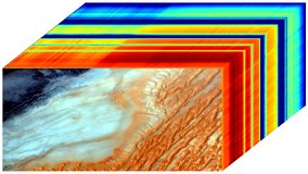
ECOSTRESS Swath Top of Atmosphere Calibrated Radiance Instantaneous L1B Global 70 m
ECOSTRESS Gridded Top of Atmosphere Calibrated Radiance bands 5-4-2 data from the ECO_L1CG_RAD product over Lake Nasser and Toshka Lakes in Egypt, Africa on March 20, 2023.
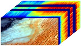
ECOSTRESS Gridded Top of Atmosphere Calibrated Radiance Instantaneous L1C Global 70 m
ECOSTRESS Tiled Top of Atmosphere Calibrated Radiance version 2 bands 5-4-2 data mosaic comprised of six tiles (12TTL, 12TTM, 12TUL, 12TUM, 12TVL, 12TVM) from the ECO_L1CT_RAD product over the Great Salt Lake in Utah, USA on March 18, 2023.
ECOSTRESS Tiled Top of Atmosphere Calibrated Radiance Instantaneous L1C Global 70 m
ECOSTRESS Cloud Confidence Mask data from the ECO_L2G_CLOUD product over Mount Saint Helens, Washington, United States, acquired on December 15, 2022.
ECOSTRESS Gridded Cloud Mask Instantaneous L2 Global 70 m
ECOSTRESS land surface temperature data from the ECO_L2G_LSTE product over Mt Hood, Oregon, United States, acquired on January 30, 2023.
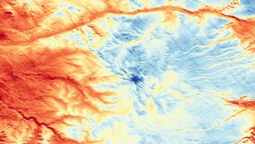
ECOSTRESS Gridded Land Surface Temperature and Emissivity Instantaneous L2 Global 70 m
ECOSTRESS land surface temperature data from the ECO_L2T_LSTE product over Nevada, United States, acquired on October 29, 2022.
ECOSTRESS Tiled Land Surface Temperature and Emissivity Instantaneous L2 Global 70 m
NDVI over northern Mongolia from the ECO_L2T_STARS V002 product on October 20th, 2023.
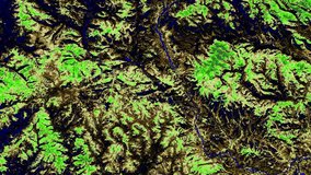
ECOSTRESS Tiled Ancillary NDVI and Albedo L2 Global 70 m
ECOSTRESS Cloud Confidance Mask data from the ECO_L2_CLOUD product over eastern Washington, United States, acquired on October 31, 2022.
ECOSTRESS Swath Cloud Mask Instantaneous L2 Global 70 m
ECOSTRESS land surface temperature data from the ECO_L2_LSTE product over California, United States, acquired on November 29, 2022.
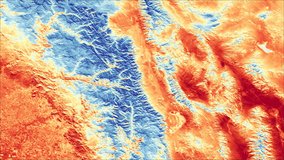
ECOSTRESS Swath Land Surface Temperature and Emissivity Instantaneous L2 Global 70 m
An At-Sensor Calibrated Radiance RGB image (bands 36, 22, 10) and data cube showcasing spectral signatures of the data from the EMITL1BRAD product over Libya, Africa on August 17, 2022.
EMIT L1B At-Sensor Calibrated Radiance and Geolocation Data 60 m
An Estimated Surface Reflectance RGB image (bands 36, 22, 10) and data cube showcasing spectral signatures of the data from the EMITL2ARFL product over Libya, Africa on August 17, 2022.
EMIT L2A Estimated Surface Reflectance and Uncertainty and Masks 60 m
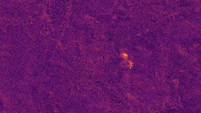
Methane enhancement data from the EMITL2BCH4ENH version 1 product over the southwestern United States on February 05, 2023.
Methane plume complex data from the EMITL2BCH4PLM version 1 product over the southwestern United States on February 05, 2023.
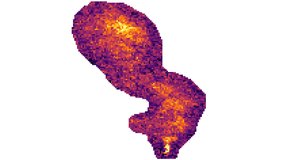
EMIT L2B Estimated Methane Plume Complexes 60 m
Display
15
results per page