Showing 511 - 540 of 674 results
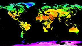
VIIRS/JPSS1 Land Surface Temperature/Emissivity Daily L3 Global 0.05 Deg CMG
VIIRS/JPSS1 Land Surface Temperature/Emissivity 8-Day L3 Global 0.05 Deg CMG
VIIRS/JPSS1 Land Surface Temperature/Emissivity Monthly L3 Global 0.05 Deg CMG
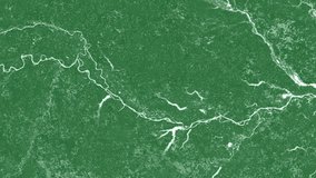
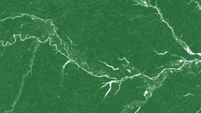
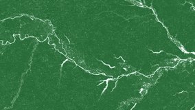
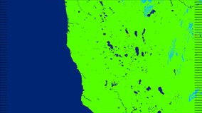
VIIRS/JPSS1 Water Reservoir Area 8-day L3 Global
VIIRS/NPP Moderate Resolution Terrain Corrected Geolocation 6-Min L1 Swath 750 m Light
VIIRS/NPP Moderate Resolution Terrain Corrected Geolocation 6-Min L1 Swath 750 m Light
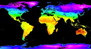
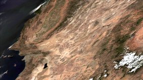
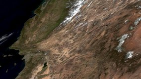
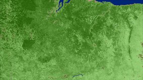
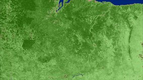
VIIRS/NPP Surface Reflectance 8-Day L3 Global 1 km SIN Grid
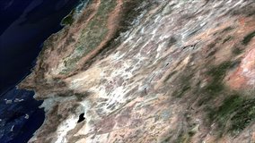
VIIRS/NPP Surface Reflectance 8-Day L3 Global 1 km SIN Grid
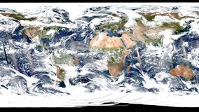
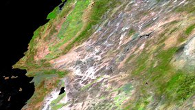
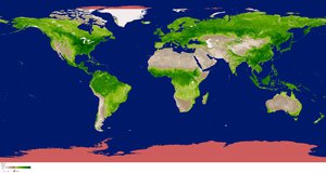
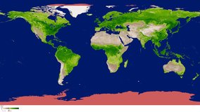
VIIRS/NPP Surface Reflectance Daily L3 Global 0.05 Deg CMG
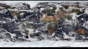
VIIRS/NPP Surface Reflectance Daily L3 Global 0.05 Deg CMG
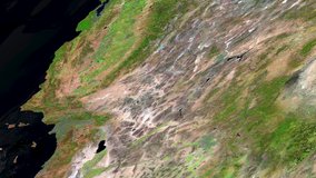
VIIRS/NPP Surface Reflectance Daily L2G Global 1 km and 500 m SIN Grid
VIIRS/NPP Surface Reflectance Daily L2G Global 1 km and 500 m SIN Grid
VIIRS/NPP Surface Reflectance 8-Day L3 Global 500 m SIN Grid
VIIRS/NPP Surface Reflectance 8-Day L3 Global 500 m SIN Grid
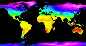
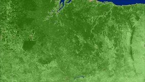
VIIRS/NPP Vegetation Indices 16-Day L3 Global 500 m SIN Grid
VIIRS/NPP Vegetation Indices 16-Day L3 Global 500 m SIN Grid
VIIRS/NPP Vegetation Indices 16-Day L3 Global 1 km SIN Grid
VIIRS/NPP Vegetation Indices 16-Day L3 Global 1 km SIN Grid
VIIRS/NPP Vegetation Indices Monthly L3 Global 1 km SIN Grid
VIIRS/NPP Vegetation Indices Monthly L3 Global 1 km SIN Grid
VIIRS/NPP Vegetation Indices 16-Day L3 Global 0.05 Deg CMG
VIIRS/NPP Vegetation Indices 16-Day L3 Global 0.05 Deg CMG

VIIRS/NPP Vegetation Indices Monthly L3 Global 0.05 Deg CMG

VIIRS/NPP Vegetation Indices Monthly L3 Global 0.05 Deg CMG
VIIRS/NPP Thermal Anomalies/Fire 6-Min L2 Swath 750 m
VIIRS/NPP Thermal Anomalies/Fire 6-Min L2 Swath 750 m
VIIRS/NPP Thermal Anomalies and Fire Daily L3 Global 1 km SIN Grid
VIIRS/NPP Thermal Anomalies/Fire Daily L3 Global 1 km SIN Grid