ECOSTRESS
Listen to episodes on how International Space Station (ISS) ECOsystem Spaceborne Thermal Radiometer Experiment on Space Station (ECOSTRESS) data are being used.
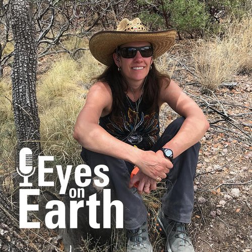
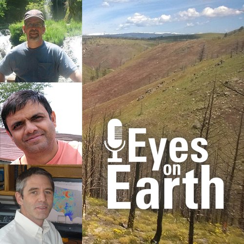
Eyes on Earth Episode 83 – ECOSTRESS and Burn Severity
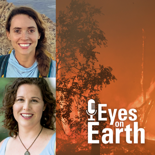
Guests: Madeleine Pascolini-Campbell, NASA Jet Propulsion Laboratory; Natasha Stavros, Earth Lab Analytics Hub, University of Colorado Boulder
Host: Jane Lawson
Producer: Tom Adamson
Release date: November 7, 2022
Summary: ECOSTRESS, or ECOsystem Spaceborne Thermal Radiometer Experiment on Space Station, data provides variables related to plant water stress, including evapotranspiration, evaporative stress index and water use efficiency. The NASA Land Processes Distributed Active Archive Center (LP DAAC) at EROS provides storage and distribution of ECOSTRESS data. In this episode, we take a look at how these variables were useful for research that looked at predictors for spatial patterns of burn severity in recent California wildfires in the Sierra Nevada and the Southern California Mountains.
More on ECOSTRESS:
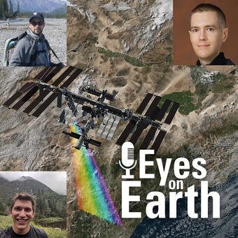
Eyes on Earth Episode 80 – ECOSTRESS and Carbon
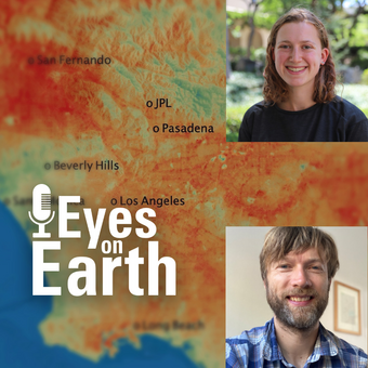
Guests: Nick Parazoo, NASA Jet Propulsion Laboratory; Willow Coleman, former NASA JPL intern
Host: Jane Lawson
Producer: Brian Hauge
Release date: September 28, 2022
Summary: ECOSTRESS, which stands for the ECOsystem Spaceborne Thermal Radiometer Experiment on Space Station, collects land surface temperatures in an effort to answer questions about plants’ use of water. The NASA Land Processes Distributed Active Archive Center (LP DAAC) at EROS has provided storage and distribution of ECOSTRESS data for four years now and counting. In this episode, we’ll take a look at how the ECOSTRESS temperature measurements can be useful in characterizing biological influences on the carbon dioxide exchange, specifically in the urban environment of Los Angeles and the non-urban environment surrounding the city.
More on ECOSTRESS:
Eyes on Earth Episode 77 – ECOSTRESS and Urban Heat
Guests: Glynn Hulley, NASA Jet Propulsion Laboratory, Greg Spotts, City of Los Angeles
Host: John Hult
Producer: John Hult
Release date: July 11, 2022
Summary: We don't need a scientist to tell us that city streets catch and hold heat. Anyone who's walked barefoot from a parking lot to a beach can tell you that. What scientists can help us understand, particularly scientists who work with spaceborne, remotely sensed data, is just how big a difference there is between cities and the countryside. That gap is sometimes referred to as the urban heat island effect. At the height of summer, heat disparities can have a large impact on at risk human populations. On this episode of Eyes on Earth, we hear from a remote sensing scientist and a sustainability coordinator for the city of Los Angeles who teamed up to study the impact of cool pavement coating as an urban heat mitigation strategy.
More on remote sensing and urban heat:
Eyes on Earth Episode 76 – ECOSTRESS and Disease Risk
Guests: Anna Boser, PhD student, University of California-Santa Barbara; Andy MacDonald, UC-Santa Barbara Earth Research Institute
Host: John Hult
Producer: John Hult
Release date: June 27, 2022
Summary: Spaceborne sensors orbit hundreds of miles over our heads. Even the most advanced among them struggle to capture high-resolution imagery of individual human beings. Mosquitos, of course, are far smaller than we are. Clearly, sensors on a satellite or space station can’t see them. Even so, these sensors can gather a host of information that helps to understand the movements and behaviors of these pesky little disease vectors, which are responsible for at least a million deaths a year. Mosquitos are more active under certain environmental conditions, for example, and those conditions can be tracked at wide scales from above. Changes to the land’s surface can also make it easier for mosquitos to proliferate. On this episode, we learn how a sensor onboard the International Space Station was used to calculate West Nile virus risk in California’s San Joaquin River Valley.
More on remote sensing and disease risk:
Eyes on Earth Episode 73 – Global Water Use
Guests: Savannah Cooley, Applied Science Systems Engineer, NASA Jet Propulsion Laboratory
Host: John Hult
Producer: John Hult
Release date: May 2, 2022
Summary: Some plants are simply better at making use of their water supply than others. More efficient plants can capture more carbon with less water, which has implications for carbon sequestration and ultimately for climate change modeling. In other words, the more we understand about water use efficiency, the more reliable our climate change models can be. And the only way to measure efficiency at the global scale is from space. On this episode of Eyes on Earth, we hear from a scientist who studied global water use using a sensor called ECOSTRESS, whose data are housed at the USGS EROS Center, in NASA’s Land Processes Distributed Active Archive Center (LP DAAC).
More on ECOSTRESS and Global Water Use:
Eyes on Earth Episode 70 - ECOSTRESS and Aquatic Ecosystems
Guests: Rebecca Gustine, NASA Jet Propulsion Laboratory (JPL), Cassandra Nickles, NASA JPL, Shruti Khanna, California Department of Water Resources
Host: John Hult
Producer: John Hult
Release date: March 21, 2022
Summary: The Earth observation data archived here have plenty of value to the study of aquatic ecosystems. Landsat satellites can capture harmful algal blooms, for example. Spaceborne sensors can also record land surface temperatures, and that includes water surfaces. On this episode of Eyes on Earth, we hear about how a sensor called ECOSTRESS can be used to measure water temperatures at different times of day, and how those measurements could be useful in the monitoring and management of the endangered Delta smelt. ECOSTRESS data are available through the NASA Land Processes Distributed Active Archive Center (LP DAAC), located in the USGS EROS Center.
More on aquatic ecosystems and ECOSTRESS :
Eyes on Earth Episode 67 - ECOSTRESS and Water Use
Guest: Dr. Kerry Cawse-Nicholson, deputy science lead for ECOSTRESS at NASA Jet Propulsion Laboratory
Host: John Hult
Producer: John Hult
Release date: February 7, 2022
Summary: If you want to know how much rain fell yesterday, you can catch it and measure it. Water vapor? That's not so easy. Which is a problem if you want to know how quickly that rate is returning to the atmosphere. Water vapor is the single largest part of the water budget, but without space-based observations, it would be all but impossible to measure at wide scale. On this episode of Eyes on Earth, we learn how a sensor called ECOSTRESS helps improve the space-based measurement of evapotranspiration, or ET, which is the combined rate of evaporation from the Earth's surface and transpiration from plants.
More on ECOSTRESS and ET:
Eyes on Earth Episode 65 - Rapid Fire Mapping with Remote Sensing
Guests: Andre Coleman, senior research scientist, Pacific Northwest National Laboratory (PNNL), Lee Miller, remote sensing specialist, PNNL, Rick Stratton, USDA Forest Service
Host: John Hult
Producer: John Hult
Release date: January 10, 2022
Summary: Satellites like Landsat are valuable for mapping fire perimeters and for monitoring trends in burn severity or in post-fire recovery. Satellites can cover wide areas with a single pass, whereas helicopter, drone, or airplane fire line mapping can take hours. But civilian satellites with moderate resolution typically don't get imagery for the entire planet every day, and every day counts when large fires rage. On this episode of Eyes on Earth, we talk through a tool called RADR-Fire built to pull data from a wide variety of sources to map disaster impacts on a day-by-day basis. ECOSTRESS, a sensor on the International Space Station whose data are archived at the NASA’s EROS-based Land Processes Distributed Active Archive Center (LP DAAC), has been an especially useful source of information.
More on ECOSTRESS and RADR-Fire:
Eyes on Earth Episode 63 - ECOSTRESS and Post-Fire Recovery
Guest: Dr. Helen Poulos, forest ecologist, Wesleyan University
Host: John Hult
Producer: John Hult
Release date: December 13, 2021
Summary: Fires can be destructive or healthy for a landscape—often both. Fires have grown larger and more destructive in recent years, though, thanks to human activity, climate change, and a host of other factors. Satellite data helps us to map and monitor fire activity, but the study of post-fire plant life using remote sensing data goes further than fire mapping. On this episode of Eyes on Earth, we hear from Dr. Helen Poulos, who used data from the ECOsystem Spaceborne Thermal Radiometer Experiment on Space Station, (ECOSTRESS), to study Arizona Pine Oak forest 5-7 years after severe fire. Dr. Poulos and her collaborators at Northern Arizona University and the University of Maine at Farmington learned that post-fire shrublands had surprisingly high rates of water use. ECOSTRESS data are available through NASA’s Land Processes Distributed Active Archive Center or LP DAAC, which is located at EROS.
More on ECOSTRESS:
EMIT
Listen to episodes on how Earth Surface Mineral Dust Source Investigation (EMIT) data are being used.
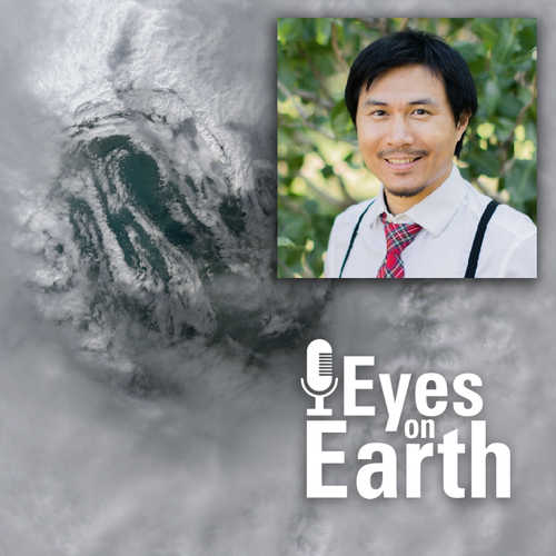
Eyes on Earth Episode 75 – Mapping Dust Sources Worldwide
Guests: Raymond Kokaly, USGS; David Thompson, NASA Jet Propulsion Laboratory (JPL); Philip Brodrick, NASA JPL
Host: John Hult
Producer: John Hult
Release date: June 15, 2022
Summary: Clouds of dust kicked up in places like the Sahara can travel thousands of miles across the planet. We can see those clouds in satellite imagery, but we don’t typically know much about the composition of that dust. That’s a huge blind spot, because those unknown characteristics—such as the particles’ lightness or darkness—have an impact on what they do. The warming and cooling of the atmosphere, snow melt, ocean or rain forest fertilization, and even cloud formation can all be affected by dust cloud composition. Mapping those dust sources is the focus of the Earth Surface Mineral Dust Source Investigation, or EMIT, which will be supported by NASA’s Land Processes Distributed Active Archive Center (LP DAAC), which is located at the USGS EROS Center. On this episode of Eyes on Earth, we hear about the importance of the mission from three members of the EMIT Science Team.
More on EMIT:
GEDI
Listen to episodes on how Global Ecosystem Dynamics Investigation (GEDI) data are being used.
Eyes on Earth Episode 82 – Global Ecosystem Dynamics Investigation Data
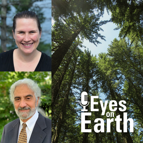
Guest: Dr. Laura Duncanson and Dr. Ralph Dubayah, University of Maryland and the GEDI mission
Host: Jane Lawson
Producer: Tom Adamson
Release date: October 24, 2022
Summary: The Global Ecosystem Dynamics Investigation, or GEDI, instrument on the International Space Station acquires lidar waveforms to observe the Earth’s surface in 3D. The GEDI lidar measures the height and density of objects, so it provides information such as surface elevation and tree canopy height and cover. The NASA Land Processes Distributed Active Archive Center (LP DAAC) at EROS provides storage and distribution of GEDI data. In this episode, we’ll take a look at the purpose of the GEDI mission, how the instrument works, and how GEDI data are being used to understand things like carbon dynamics in forests.
More on the Global Ecosystem Dynamics Investigation Data:
HLS
Listen to episodes on how Harmonized Landsat and Sentinel-2 (HLS) data are being used.
Eyes on Earth Episode 45 – Harmonized Landsat Sentinel Data
Guest: Dr. Jeffrey Masek, NASA Landsat Project Scientist, Dr. Brian Freitag, NASA Research Physical Scientist
Host: John Hult
Producer: John Hult
Release date: March 8, 2021
Summary: Landsat satellites have monitored the Earth’s surface for nearly 50 years, providing critical information for countless areas of study and real world applications. But with observations only collected every 8-16 days, there are limits to what can be tracked. On today’s episode of Eyes on Earth, we hear about a soon-to-be-released data product that merges Landsat with data from the European Space Agency’s Sentinel-2 satellites, which will offer more opportunities to monitor rapid change. The harmonized Landsat-Sentinel data will be available through the Land Processes Distributed Active Archive Center (LP DAAC), located at the USGS Earth Resources Observation and Science (EROS) Center.
More on the Harmonized Landsat Sentinel Data:
Eyes on Earth Episode 66 – Exotic Annual Grasses
Guests: Stephen Boyte, USGS EROS research physical scientist, Devendra Dahal, USGS EROS contractor, Matt Reeves, USDA Forest Service ecologist
Host: John Hult
Producer: John Hult
Release date: January 24, 2022
Summary: The rangelands of the western United States are changing more quickly than many other parts of the lower 48. Miles upon miles of the area or semi-arid landscapes in states like Idaho, Montana and Nevada are now carpeted by fire fueling invasive grasses. Cheatgrass is the most prevalent, which is troublesome for several reasons. First off, it greens up and browns down really quickly, leaving a layer of tinder-like vegetation. In many areas, it fills in the formerly barren spaces between thicker bunchgrasses and sagebrush, which in turn helps fires move rapidly from fuel source to fuel source. On this episode of Eyes on Earth, we hear from the USGS EROS teams who use satellite data to map exotic annual grasses and a researcher who uses those maps to create monthly grass abundance estimates for firefighters and land managers.
More on Exotic Annual Grasses:
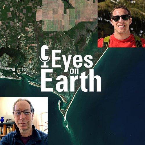
Eyes on Earth Episode 84 – Hurricane Disturbance Mapping
Guest: Zhe Zhu, University of Connecticut’s Global Environmental Remote Sensing Laboratory and Landsat Science Team
Host: Jane Lawson (contractor for USGS EROS)
Producer: Tom Adamson (contractor for USGS EROS)
Release date: Monday, November 21, 2022
Summary: When disaster strikes, near-real-time images of its effects can be invaluable. In this episode, we learn about how a newly developed system using the Harmonized Landsat Sentinel-2 dataset and artificial intelligence was put to the test when Hurricane Ian tore through Florida in late September 2022. By comparing pre-storm and post-storm imagery, the system quickly flagged anomalies statewide such as brightness, which could indicate exposed sand or bare land after a hurricane. Harmonized Landsat Sentinel-2 data is available through the Land Processes Distributed Active Archive Center, or LP DAAC for short, located at EROS, which is also home to the entire Landsat archive.
More about disaster response satellite imagery:
MODIS
Listen to episodes on how Terra and Aqua Moderate Resolution Imaging Spectroradiometer (MODIS) data are being used.
Eyes on Earth Episode 46 – Deforestation and Forest Degradation
Guest: Dr. Eric Bullock, U.S. Forest Service
Host: John Hult
Producer: John Hult
Release date: March 22, 2021
Summary: Deforestation is a significant concern for many parts of the globe, particularly in places like the rainforests of the Amazon or the Congo. Scientists, governments, and non-governmental organizations turn to satellite data to track deforestation, as well as to set targets for improvement. On this episode of Eyes on Earth, we hear from a remote sensing specialist with the U.S. Forest Service who develops algorithms that sift through satellite data to capture not only deforestation events, but the more subtle degradation events that have an impact on forest health.
More on Deforestation and Forest Degradation:
- Satellite‐based estimates reveal widespread forest degradation in the Amazon
- NASA Earthdata User Profile: Dr. Eric Bullock
- United Nations Collaborative Programme on Reducing Emissions from Deforestation and Forest Degradation in Developing Countries (REDD+)
- Land Processes Distributed Active Archive Center (LP DAAC)
- Eyes on Earth Episode 45 – Harmonized Landsat Sentinel Data