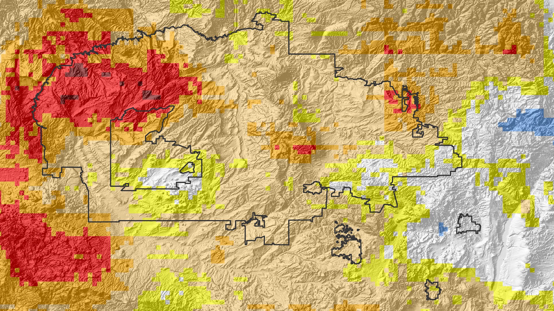
The image above shows the study area of the project. Image courtesy of the Navajo Nation Climate III DEVELOP Team.
The image above shows the study area of the project. Image courtesy of the Navajo Nation Climate III DEVELOP Team.
During the Fall 2016 term of the NASA DEVELOP National Program, participants used geospatial technologies to investigate and analyze drought, forest cover, water resources, agriculture, ecosystem health, and disasters across the world. Each project that a DEVELOP team completes is conducted in partnership with agencies or organizations local to the study area to ensure that the project outcomes or observations will have an impact. Fundamental to the analysis and geospatial component of each of these projects is NASA Earth science remote sensing data. Many of these projects use data distributed by the LP DAAC and collected by the Moderate Resolution Imaging Spectroradiometer (MODIS) sensor onboard NASA’s Terra and Aqua satellites, the Terra Advanced Spaceborne Thermal Emission and Reflection Radiometer (ASTER), and derived data from NASA’s Shuttle Radar Topography Mission (SRTM).
All the projects conducted in the Fall Term, as well as in past terms, can be found in the DEVELOP archive.
One of the projects, Beyond a Shadow of a Drought III, used NASA Earth Observation data to study severe drought in the Navajo Nation in the southwestern United States. The Navajo Nation is seeing a reduction in livestock and agricultural practices and is also seeing a third of the population needing to bring in water from external resources due to the drought. A 2011 Navajo Nation Water Resource Development Strategy report found that $300 million is needed for public water system drought mitigation, but only $10 million is available in the current response plan. Future planning and monitoring is crucial to determine the highest needs area in the Navajo Nation and the disbursement of current funds. Currently the Navajo Nation Water Management Branch (NNWMB) publishes a monthly drought monitoring report that pieces together regional and national hydroclimate variables, to classify drought in the Navajo Nation, including: precipitation, snowpack, and temperature. This practice provides limited information and is labor intensive. The previous Navajo Nation Climate I and II DEVELOP teams created a decision support tool called the Drought Severity Assessment Tool 2.0 (DSAT 2.0) to help make drought classification in the Navajo Nation easier and more effective.
In the Fall 2016 term, the Navajo Nation Climate III DEVELOP team compared the different drivers of drought, both spatially and temporally, and also validated the DSAT 2.0 tool. To study the drought in the region, the team used the monthly Land Surface Temperature Version 5 (MOD11C3) data product, now available in Version 6, provided by NASA’s Terra Moderate Resolution Imaging Spectroradiometer (MODIS) satellite, snow water equivalent data from NOAA’s Snow Data Assimilation System (SNODAS), root zone soil moisture data from assimilated Gravity Recovery and Climate Experiment (GRACE), and precipitation data provided by the NNWMB. In the future, the NNWMB will be able to use the work conducted by the Navajo Nation Climate DEVELOP teams to make better, more accurate decisions in regard to future water scarcity and economic and agricultural impacts from water resources in the Navajo Nation.
Watch this video created by the Navajo Nation Climate III DEVELOP team to learn more about their project and how they used NASA Earth science remote sensing data.
About the NASA DEVELOP National Program
The DEVELOP National Program is part of NASA’s Applied Sciences Program. Participants from around the country join the DEVELOP program for 10-week terms to apply data acquired by NASA Earth-observing satellites to bridge the gap between science and society. DEVELOP participants work with local, state, and federal partners to create maps and other products in nine focus areas, including Agriculture, Climate, Disasters, Ecological Forecasting, Energy, Health and Air Quality, Oceans, Water Resources, and Weather.
Any use of trade, firm, or product names is for descriptive purposes only and does not imply endorsement by the U.S. Government.
References:
Navajo Nation Climate III Team, NASA DEVELOP National Program, 2016, Navajo Nation Climate III - NASA DEVELOP Fall 2016 @ NASA Ames Research Center, accessed May 19, 2017, at https://youtu.be/xyWjdumlm7U?list=PLL8pCbx5gnDaUglEO0269LJ95zp4r63V4.
Gutowski, L., Davis, M., and Zapata, C., 2016, Beyond a shadow of a drought III, accessed May 19, 2017, at https://develop.larc.nasa.gov/2016/fall/NavajoNationClimateIII.html.
Written by: Danielle Golon1, Aubrey Hilte3, Tiffani Miller4
1 Innovate!, Inc., contractor to the U.S. Geological Survey, Earth Resources Observation and Science (EROS) Center, Sioux Falls, South Dakota, USA. Work performed under USGS contract G15PD00403 for LP DAAC2.
2 LP DAAC Work performed under NASA contract NNG14HH33I.
3 Wise County, Virginia, consultant to the NASA DEVELOP National Program, Wise County and City of Norton Clek of Court’s Office, Wise, Virginia, USA.
4 SSAI, consultant to the NASA DEVELOP National Program, Langley Research Center, Hampton, Virginia, USA.