About the LP DAAC
The LP DAAC operates as a partnership between the U.S. Geological Survey (USGS) and the National Aeronautics and Space Administration (NASA) and is a component of NASA’s Earth Observing System Data and Information System (EOSDIS). Data specialists, system engineers, user service representatives, and science communicators work in collaboration to support LP DAAC activities.
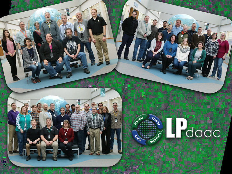
Who is the LP DAAC?
LP DAAC Team
The LP DAAC team is comprised of nearly 50 employees, including data specialists, system engineers, user service representatives, and science communicators located in Sioux Falls, South Dakota and surrounding areas.
USGS Project Manager: Chris Torbert
LP DAAC Project Scientist: Cole Krehbiel
LP DAAC Operations Manager: Ryan Reker
TSSC Task Manager: Darla Werner
Science Development & Operations Manager: Rob Quenzer
Science Data Lifecycle Lead: Jared Beck
System Administrator & Operations Lead: Rachel Mehrer
Operations Engineering Lead: Matt Martens
What does the LP DAAC do?
Process, Archive, Distribute, Apply
The LP DAAC processes, archives, and distributes land data products to hundreds of thousands of users in the earth science community. Our land data products are made available and support the ongoing monitoring of Earth’s land dynamics and environmental systems to facilitate interdisciplinary research, education, and decision-making.
Process: Raw data collected from specific satellite sensors, such as ASTER aboard NASA’s Terra satellite, are received and processed into a readable and interpretable format here at the LP DAAC, while other data undergo processing in other facilities around the country before arriving to the LP DAAC to be archived and distributed to the public.
Archive: The LP DAAC continually archives a wide variety of land remote sensing data products collected by sensors onboard satellites, aircraft, and the International Space Station (ISS). The archive currently totals more than 3.5 petabytes of data, the equivalent of listening to 800 million songs, and distributes data to over 200,000 global users.
Distribute: All data products in the archive are distributed free of charge through NASA Earthdata Search and USGS EarthExplorer search and download clients. The LP DAAC supports tools and services, like the Application for Extracting and Exploring Analysis Ready Samples (AppEEARS), which allows users to transform and visualize data before download while offering enhanced subsetting and reprojecting capabilities.
Apply: Visit our Data in Action and Publications Table to learn about how LP DAAC data products have been utilized in various studies and applications of diverse disciplines; browse through our media wall to see pretty pictures of our data that you can share with friends and colleagues; interact with the land data science community on the Land Data Forum; and discover a suite of Tools and E-learning materials available to support a variety of research needs.
When and where was the LP DAAC established?
Location
The LP DAAC is located just outside of Sioux Falls, South Dakota at the USGS Earth Resources Observation and Science (EROS) Center. On August 28, 1990, NASA and USGS established EROS as a Distributed Active Archive Center, or DAAC. A 65,000 square-foot addition to the building was constructed to support this new role for EROS, and was dedicated on August 19, 1996.
Who uses LP DAAC data?
Data use
Our community of users includes scientists, researchers; federal, state, and local government, educational and commercial professionals, application users, and the general public.
How can I submit data?
LP DAAC Data Submission
The LP DAAC archives and makes data accessible through the NASA Earth Science Data Systems Program that are relevant to understanding Earth’s land dynamics and environmental systems.
New products can be submitted through the LP DAAC Product Submission Form.