Showing 16 - 30 of 45 results
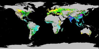
Global Food Security Support Analysis Data (GFSAD) Crop Dominance 2010 Global 1 km
Global Food Security Support Analysis Data (GFSAD) Crop Mask 2010 Global 1 km
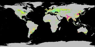
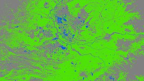
Global Food Security-support Analysis Data (GFSAD) Cropland Extent 2015 Africa 30 m
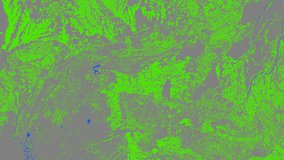
Global Food Security-support Analysis Data (GFSAD) Cropland Extent 2015 Australia, New Zealand, China, Mongolia 30 m
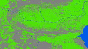
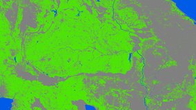
Global Food Security-support Analysis Data (GFSAD) Cropland Extent 2015 Europe, Central Asia, Russia, Middle East 30 m
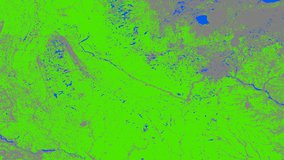
Global Food Security-support Analysis Data (GFSAD) Cropland Extent 2010 North America 30 m
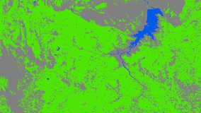
Global Food Security-support Analysis Data (GFSAD) Cropland Extent 2015 South Asia, Afghanistan, Iran 30 m
Global Food Security-support Analysis Data (GFSAD) Cropland Extent 2015 South America 30 m
Global Food Security-support Analysis Data (GFSAD) Cropland Extent 2015 Southeast and Northeast Asia 30 m
Global Food Security-support Analysis Data (GFSAD) Cropland Extent 2015 Validation 30 m
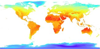
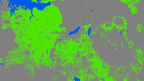
Low Earth Orbit Land Surface Temperature Monthly Global Gridded
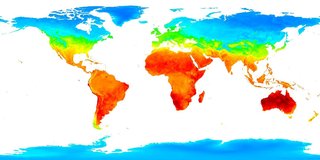
Low Earth Orbit Land Surface Temperature Monthly Global Gridded
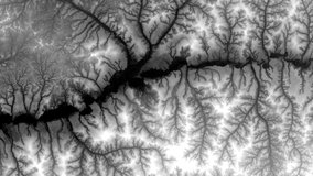
NASA Shuttle Radar Topography Mission Global 1 arc second number