You are currently viewing all products. To view only operational products Click Here.

Search Data Catalog

Collection: MEaSUREs GFCC Collection: MEaSUREs SRTM Collection: MEaSUREs VCF Collection: MEaSUREs VIP Clear filters
Showing 1 - 15 of 22 results
Forest cover change map over part of Brazil.
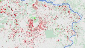
Global Forest Cover Change (GFCC) Forest Cover Change Multi-Year Global 30 m
Surface reflectance band combination 1-4-3 over part of Brazil.
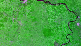
Global Forest Cover Change (GFCC) Surface Reflectance Estimates Multi-Year Global 30 m
Tree Cover data over part of Brazil.
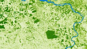
Global Forest Cover Change (GFCC) Tree Cover Multi-Year Global 30 m
Water Cover over part of Brazil.
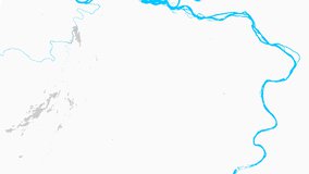
Global Forest Cover Change (GFCC) Water Cover 2000 Global 30 m
Elevation over the Democratic Republic of the Congo.
NASA Shuttle Radar Topography Mission Global 1 arc second
Satellite Icon
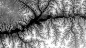
NASA Shuttle Radar Topography Mission Global 1 arc second number
Elevation over the Democratic Republic of the Congo.
NASA Shuttle Radar Topography Mission Global 3 arc second
Elevation over eastern Africa.
NASA Shuttle Radar Topography Mission Global 30 arc second
Satellite Icon
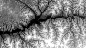
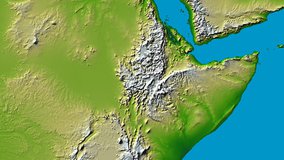
NASA Shuttle Radar Topography Mission Global 3 arc second number
Elevation over the Democratic Republic of the Congo.
NASA Shuttle Radar Topography Mission Global 3 arc second sub-sampled
Radar Brightness Values over the Democratic Republic of the Congo.
NASA Shuttle Radar Topography Mission Combined Image Data Set
Radar Sub-swath Brightness Values over the Democratic Republic of the Congo.
NASA Shuttle Radar Topography Mission Swath Image Data Set
Water Body Attributes over the Democratic Republic of the Congo.
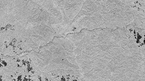
NASA Shuttle Radar Topography Mission Water Body Data Shapefiles and Raster Files
SRTMUS1 elevation data over the Kentucky-Tennessee border.
NASA Shuttle Radar Topography Mission United States 1 arc second
Satellite Icon
NASA Shuttle Radar Topography Mission United States 1 arc second number
Display
15
results per page