Showing 91 - 105 of 490 results


G-LiHT Metrics


Global Land Cover Mapping and Estimation Yearly 30 m
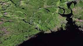
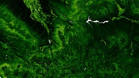
NASA Global Web-Enabled Landsat Data Monthly Global 30 m
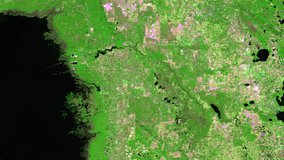
NASA Global Web-Enabled Landsat Data Monthly Global 30 m