Showing 76 - 90 of 683 results
EMIT L2B Estimated Methane Plume Complexes 60 m
EMIT L2B Estimated Mineral Identification and Band Depth and Uncertainty 60 m
EMIT L3 Aggregated Mineral Spectral Abundance and Uncertainty 0.5 Deg
GEDI L1B Geolocated Waveform Data Global Footprint Level
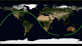
GEDI L1B Geolocated Waveform Data Global Footprint Level
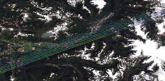
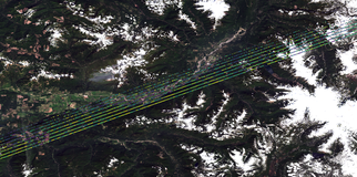
GEDI L2A Elevation and Height Metrics Data Global Footprint Level
GEDI L2A Elevation and Height Metrics Data Global Footprint Level
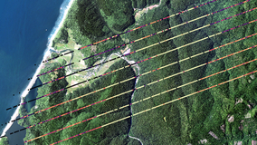
GEDI L2B Canopy Cover and Vertical Profile Metrics Data Global Footprint Level
GEDI L2B Canopy Cover and Vertical Profile Metrics Data Global Footprint Level
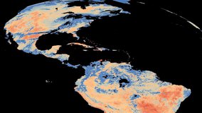
Geostationary Earth Orbit Land Surface Temperature Hourly North and South America 4 km
Geostationary Earth Orbit Land Surface Temperature Hourly North and South America 4 km
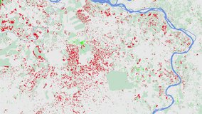
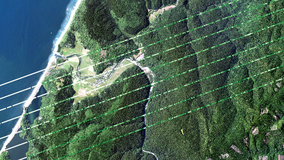
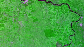
Global Forest Cover Change (GFCC) Forest Cover Change Multi-Year Global 30 m
Global Forest Cover Change (GFCC) Surface Reflectance Estimates Multi-Year Global 30 m
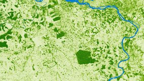
Global Forest Cover Change (GFCC) Tree Cover Multi-Year Global 30 m
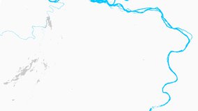
Global Forest Cover Change (GFCC) Water Cover 2000 Global 30 m