Showing 1 - 45 of 45 results
Combined ASTER and MODIS Emissivity database over Land (CAMEL) Coefficient Monthly Global 0.05Deg
Combined ASTER and MODIS Emissivity database over Land (CAMEL) Coefficient Monthly Global 0.05Deg
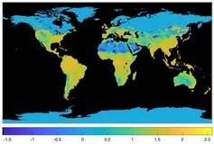
Combined ASTER and MODIS Emissivity database over Land (CAMEL) Coefficient Monthly Global 0.05Deg
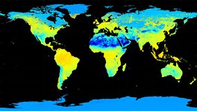
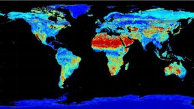
Combined ASTER and MODIS Emissivity database over Land (CAMEL) Emissivity Monthly Global 0.05Deg
Combined ASTER and MODIS Emissivity database over Land (CAMEL) Emissivity Monthly Global 0.05Deg
Combined ASTER and MODIS Emissivity database over Land (CAMEL) Emissivity Monthly Global 0.05Deg
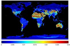
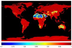
Combined ASTER and MODIS Emissivity database over Land (CAMEL) Uncertainty Monthly Global 0.05Deg
Combined ASTER and MODIS Emissivity database over Land (CAMEL) Uncertainty Monthly Global 0.05Deg
Combined ASTER and MODIS Emissivity database over Land (CAMEL) Uncertainty Monthly Global 0.05Deg
Geostationary Earth Orbit Land Surface Temperature Hourly North and South America 4 km
Geostationary Earth Orbit Land Surface Temperature Hourly North and South America 4 km
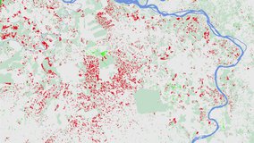
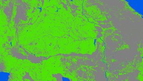
Global Forest Cover Change (GFCC) Forest Cover Change Multi-Year Global 30 m
Global Forest Cover Change (GFCC) Surface Reflectance Estimates Multi-Year Global 30 m
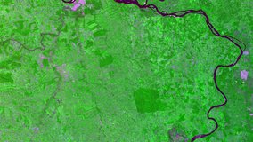
Global Forest Cover Change (GFCC) Tree Cover Multi-Year Global 30 m
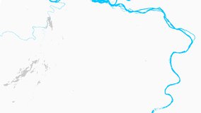
Global Forest Cover Change (GFCC) Water Cover 2000 Global 30 m
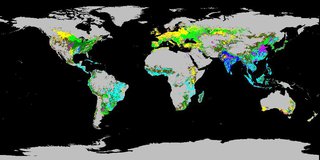
Global Food Security Support Analysis Data (GFSAD) Crop Dominance 2010 Global 1 km
Global Food Security Support Analysis Data (GFSAD) Crop Mask 2010 Global 1 km
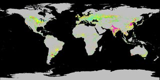
Global Food Security-support Analysis Data (GFSAD) Cropland Extent 2015 Africa 30 m
Global Food Security-support Analysis Data (GFSAD) Cropland Extent 2015 Australia, New Zealand, China, Mongolia 30 m
Global Food Security-support Analysis Data (GFSAD) Cropland Extent 2015 Europe, Central Asia, Russia, Middle East 30 m
Global Food Security-support Analysis Data (GFSAD) Cropland Extent 2010 North America 30 m
Global Food Security-support Analysis Data (GFSAD) Cropland Extent 2015 South Asia, Afghanistan, Iran 30 m
Global Food Security-support Analysis Data (GFSAD) Cropland Extent 2015 South America 30 m
Global Food Security-support Analysis Data (GFSAD) Cropland Extent 2015 Southeast and Northeast Asia 30 m
Global Food Security-support Analysis Data (GFSAD) Cropland Extent 2015 Validation 30 m
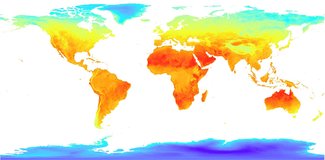
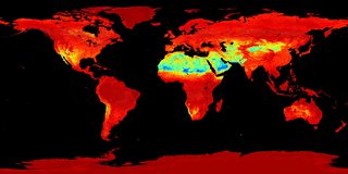
Low Earth Orbit Land Surface Temperature Monthly Global Gridded
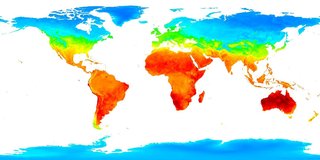
Low Earth Orbit Land Surface Temperature Monthly Global Gridded
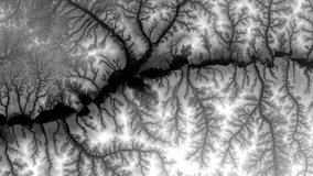
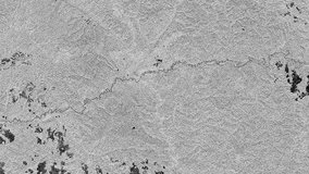
NASA Shuttle Radar Topography Mission Global 1 arc second number
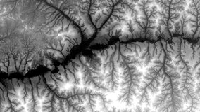
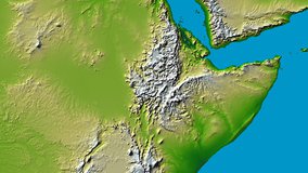
NASA Shuttle Radar Topography Mission Global 3 arc second number

NASA Shuttle Radar Topography Mission Global 3 arc second sub-sampled

NASA Shuttle Radar Topography Mission Water Body Data Shapefiles and Raster Files
NASA Shuttle Radar Topography Mission United States 1 arc second
NASA Shuttle Radar Topography Mission United States 1 arc second number
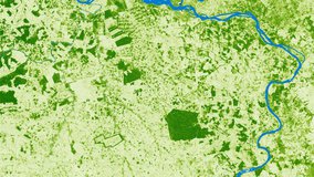
MEaSUREs Vegetation Continuous Fields (VCF) Yearly Global 0.05 Deg

Vegetation Index and Phenology (VIP) Vegetation Indices Daily Global 0.05 Deg CMG
Vegetation Index and Phenology (VIP) Vegetation Indices 7 Days Global 0.05 Deg CMG

Vegetation Index and Phenology (VIP) Vegetation Indices 15 Days Global 0.05 Deg CMG

Vegetation Index and Phenology (VIP) Vegetation Indices Monthly Global 0.05 Deg CMG
Vegetation Index and Phenology (VIP) Phenology EVI2 Yearly Global 0.05 Deg CMG
Vegetation Index and Phenology (VIP) Phenology NDVI Yearly Global 0.05 Deg CMG